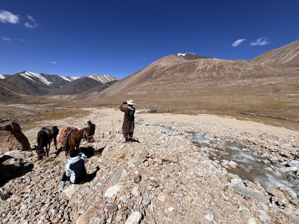
Valley D was northeast of our camp, only partially in view as the river bends almost 90 degrees, disappearing from view behind a peak. The stream weaves its way back and forth across the valley floor in a criss-cross of small waterways, and whatever the time of day, it looks silver and majestic. We rode comfortably for the first few hours, cautiously optimistic that today would be a day of revelation, even though we were unsure exactly what the source we were looking for might look like.
One clue that the source could well be in Valley D was a 2016 report from Christine Fischer and Kristina Kunze, identifying a snow field towards the end of the valley, close to the ridge that is the Afghan-Tajik border. A decade on, though, that glacier or snowfield was gone. The dark mark of the stream bed through which it must have flowed was visible on the valley floor, but it was dry. Now, the water came from a more southerly direction.
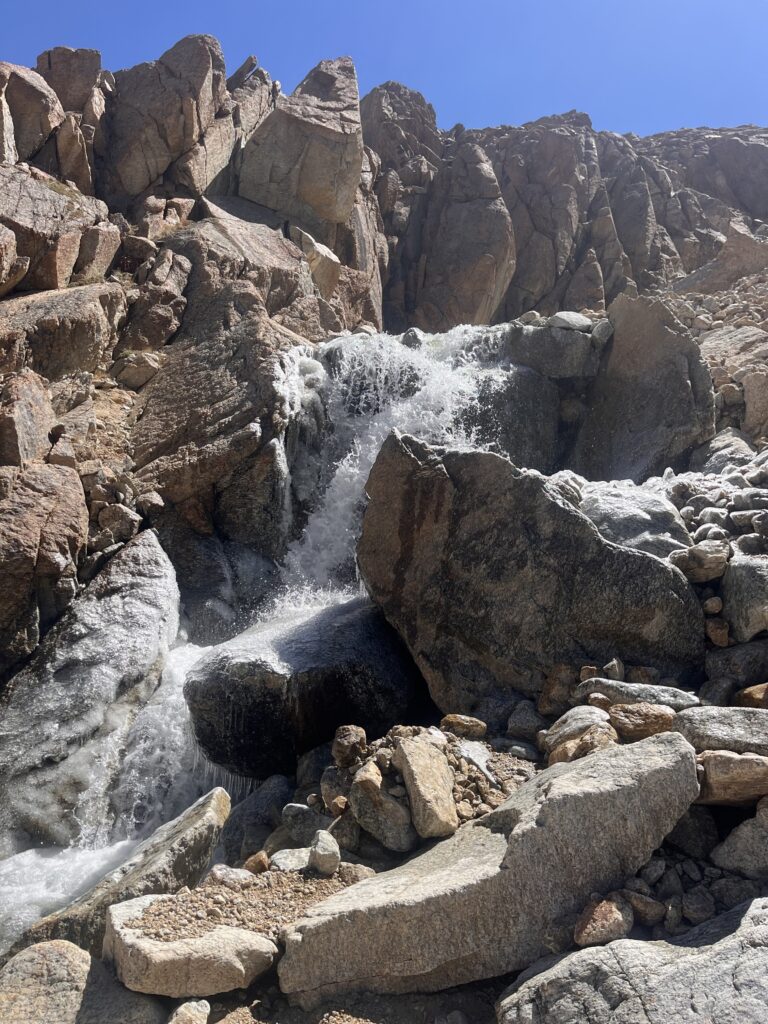
We spotted a small waterfall on the right hand side of the valley. It sprung from a reddish rock wall, not too high but blocking visibility of what was behind it. We rode closer to take a look. Kamila and Ahmad stayed with the horse in what in any circumstances would be an idyllic picnic spot. Salahuddin and I pressed on, noncommittal about how long we might be.
In spite of the initial rock climb, the terrain in D was more accessible than in A. For a start, it was less steep and claustrophobic, and whenever we surmounted a ridge or rock wall, we could see the next section of river, so didn’t venture so far off course. The rocks underfoot were more stable, too.
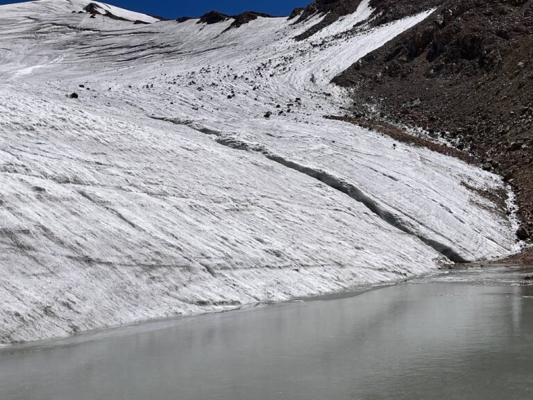
As with the glaciers in Valley A, there was a small pool at the foot of this glacier, but in this case it was fed by a roaring glacial stream lined with bubble-shaped icicles. More confident now hiking on ice, and with many more hours of daylight ahead, Salahuddin and I crunched our way up the glacier, following the path of the stream but keeping far enough back to avoid slipping into its metre-deep flume.
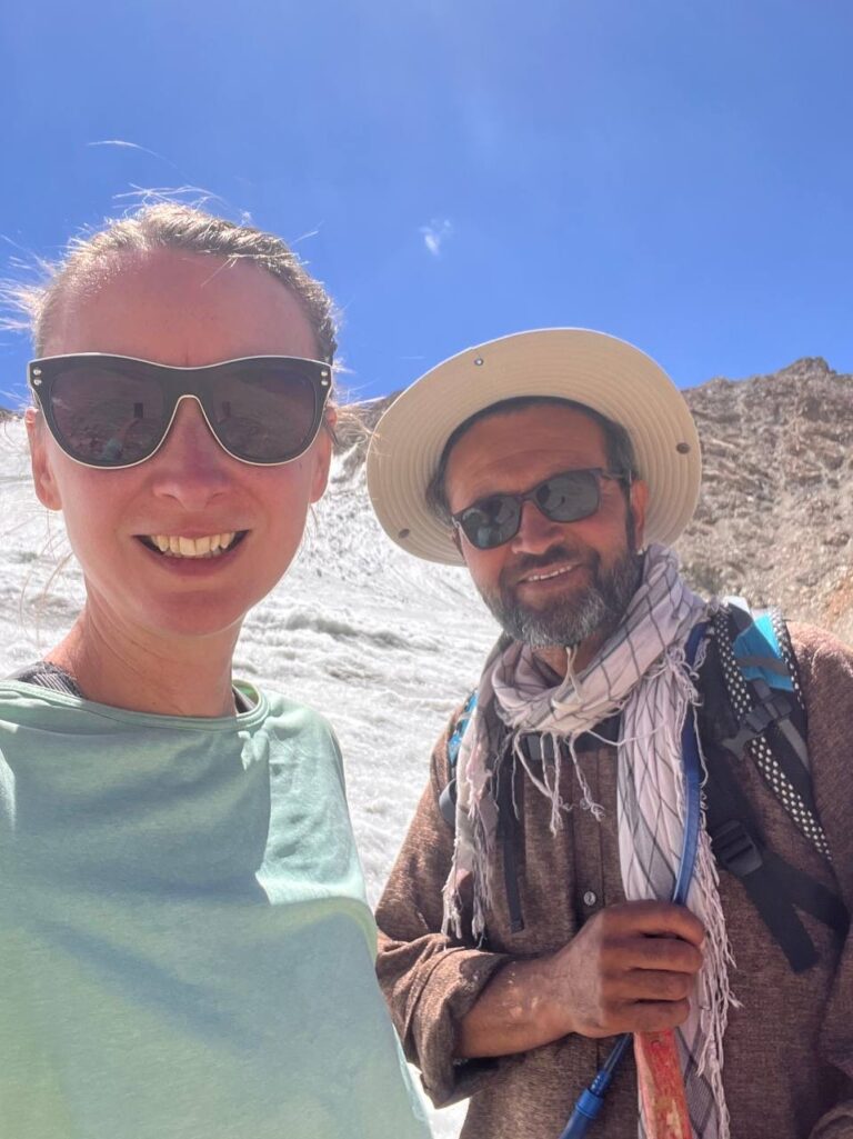
Where is the source of the Oxus? We now had the coordinates and altitude data to compare Chelab Source D against other previously recorded sites in Chelab Valley A and other parts of the Wakhan. This new location, in the middle of what we’ve now called the Ibbotson-Esmaeli Glacier, at the point where sufficient ice is melting to become a stream with a constant flow, the altitude was 5,008m above sea level, higher than the sources in Valley A but lower than sites elsewhere. Measured by the path of the river, though, this location was further from the A/D confluence, and hence also further from the sea than other potential sources, qualifying it to be the source of both the Chelab and the Oxus, when defined by distance. Confident, elated, and very, very sunburnt, we took photographs and made our way down.
Full information about the discovery of this source, including supporting data and analysis, will be published soon in the peer-reviewed journal Asian Affairs.